Reveal Technology Upgrades Geospatial Platform for Communications-Denied Army Operations
Reveal Technology introduced an upgraded geospatial intelligence platform on Oct. 12 that merges satellite and drone imagery into 3D terrain models. The tool allows U.S. Army soldiers to analyze terrain and plan missions even when military communications are disrupted. The platform responds to a growing need for imagery that can be used at the tactical level without reliable connectivity. The U.S. Army is expanding deployment of software that combines satellite and drone imagery to improve batt
OST Staff · October 13, 2026
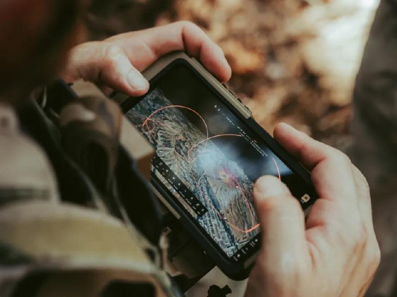
Reveal Technology introduced an upgraded geospatial intelligence platform on Oct. 12 that merges satellite and drone imagery into 3D terrain models. The tool allows U.S. Army soldiers to analyze terrain and plan missions even when military communications are disrupted.
The platform responds to a growing need for imagery that can be used at the tactical level without reliable connectivity. The U.S. Army is expanding deployment of software that combines satellite and drone imagery to improve battlefield situational awareness, pulling overhead space-based collection directly into frontline operations.
The system integrates space-based overhead imagery with feeds from uncrewed aircraft to produce 3D terrain models. Those models support targeting and intelligence workflows as well as mission planning. The referenced product is Farsight, developed by Reveal Technology.
A central feature of the upgrade is its ability to function when military communications are degraded or unavailable. By combining satellite and drone imagery into terrain models that soldiers can work with locally, the platform is designed to keep terrain analysis and mission planning available in communications-denied environments.
The expanded use of combined satellite and drone imagery marks a concrete case of space-based imagery being drawn directly into tactical Army operations. It blurs the line between strategic satellite collection and frontline drone sensing, and signals growing demand for satellite imagery as a routine input to ground maneuver.
The Army's continued expansion of the combined imagery software will indicate how widely the capability is adopted across tactical units and how fully space-based collection becomes integrated into frontline targeting and situational awareness.