Apple Maps Begins Blurring NASA and Space Force Sites Without Announcement
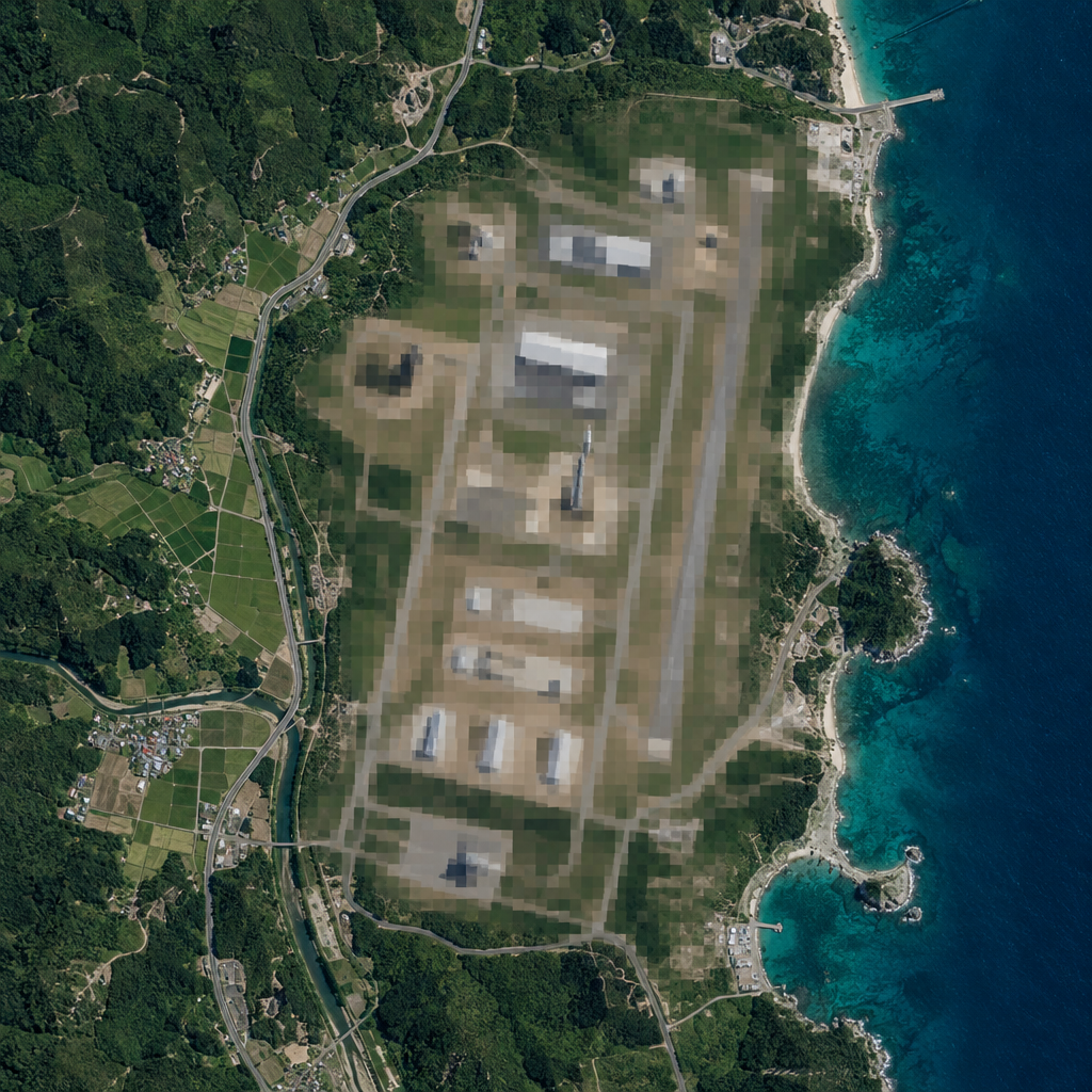
Apple has started obscuring satellite imagery of several NASA, Space Force, and Air Force locations in Apple Maps, blocking public views of launch pads, aircraft, and other installations. The change appears recent and arrived without any public announcement from the company. The move prevents anyone using the commercial service on a phone from seeing fighters on tarmacs or rockets on launch pads at some of the most sensitive sites in the United States. The blurring is not comprehensive. Several
OST Staff · October 31, 2026
Apple has started obscuring satellite imagery of several NASA, Space Force, and Air Force locations in Apple Maps, blocking public views of launch pads, aircraft, and other installations. The change appears recent and arrived without any public announcement from the company.
The move prevents anyone using the commercial service on a phone from seeing fighters on tarmacs or rockets on launch pads at some of the most sensitive sites in the United States. The blurring is not comprehensive. Several large US Navy installations, including Pearl Harbor, Norfolk, and Naval Station Great Lakes, remain visible, as do at least two Air National Guard bases in Wisconsin that were checked.
Among the locations now blurred are Wallops Flight Facility in Virginia, Stennis Space Center in Mississippi, Cape Canaveral Space Force Station in Florida, and Vandenberg Space Force Base in California. Google Maps has not blurred any of these military locations.
Apple's selection of which sites to obscure first is uneven. Whiteman Air Force Base, home to the bulk of the Air Force's B-2 stealth bombers, is blurred, as is Ellsworth Air Force Base, one of two stateside homes of the B-1B. However, Dyess Air Force Base, the second home of the B-1B, and Barksdale, home to the majority of the B-52 fleet, are not blurred.
Cape Canaveral Space Force Station, its parent base Patrick Space Force Base, and Vandenberg Space Force Base are all blurred. These sites house the bulk of military launch pads and some of the most advanced and secretive satellites ever built. Kennedy Space Center and its historic launch pads, LC-39A and LC-39B, remain visible. At Wallops Flight Facility, the airfield is blurred while the adjacent launch pads, also owned by NASA, are not. Two other frequently searched sites, Groom Lake, known as Area 51, and the Los Alamos National Laboratory, are now blurred as well.
The change appears to function as a security measure, limiting public visibility of sensitive national locations through a commercial mapping service. It is presumed that Apple will continue to extend the blurring to additional bases over time, though no formal statement has been issued on the scope or pace of the rollout.
Without an announcement from Apple, it is unclear how quickly the company plans to blur additional bases, or whether the effort is limited to highly sensitive facilities or extends to all government locations. Open questions also include how navigation functions on the blurred sites, whether Apple CarPlay continues to work there, and whether personnel and civilians working on these bases will need an alternative service for on-base navigation.